Google Earth Help Page
Google Earth is one of the coolest things I’ve seen in a long time. If you don’t have it you’ll need to download it to enjoy the “Flight Track” of my flights.
It’s free which is even cooler!
![]()
Once you have it downloaded you can just click on the link in the blog and Google Earth will open showing the “Flight Track” of that flight.
Then click the little Play Tour button.
Now you’ll be able to fly with me along my flight path!
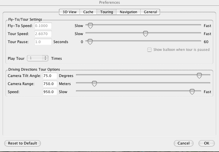
These are my settings when I’m flying along in Google Earth
In Preferences click on the Touring tab.
‘Driving Directions Tour Options’ are the ones you want to play with.
- Speed set to around 950
- Camera Tilt Angle set to 75
- Camera Range set to 750
- This will give you more of an overall view (higher up)
- A lower number gets you closer to the ground which is cooler on takeoffs and landings as you can really see the runway.
Play with the settings until you get something you like.
You may notice that it doesn’t really follow the path exactly, that’s because Google Earth is trying to average out all the turns so it doesn’t make an abrupt turn it will anticipate the turn. So it will appear as if you’re drifting to the left and right of the path line.
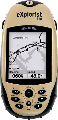
To record the GPS flight paths I use the Magellan eXplorist 210
For my first few flights I was using an older Garmin GPS III
but realized that when I tried to save the track logs the
Garmin would discard the altitude data. It’s way cooler in
Google Earth with the altitude info so I got this one for
$140 and it has the USB connection to download the info.
If you want to get really adventurous you can open this file which will overlay Aeronautical Charts for the United States in Google Earth. It will show you the airspace that you have to be aware of when flying around airports. (Not for navigation.)